Mount Cole State Forest
Due to fire impact Mount Cole State Forest is closed for public safety until further notice. For the latest on Mount Cole State Park closures, head to www.deeca.vic.gov.au
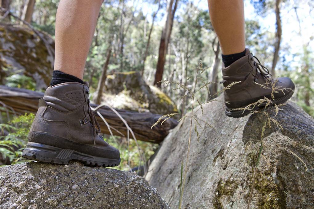
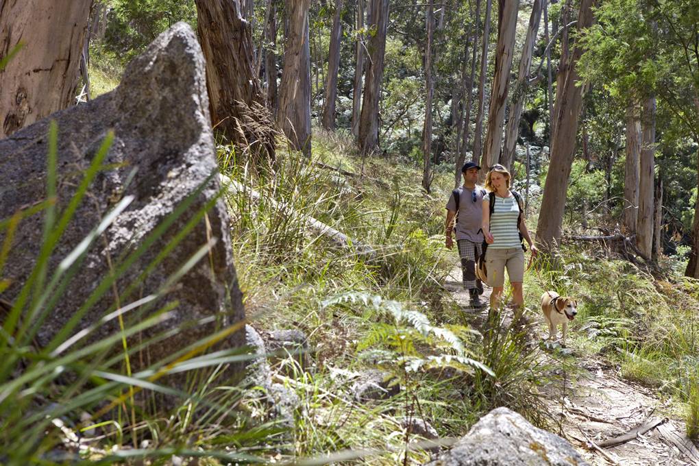
Mount Cole is a great place to getaway from it all. Camp the night at one of the many campgrounds in the parks and stroll after dark to spotlight the forest night life.
Mt Cole State Forest is located one hours drive west of Ballarat, just off the Western Highway, 25 kilometres from the township of Beaufort and marks the gateway to the Grampians.
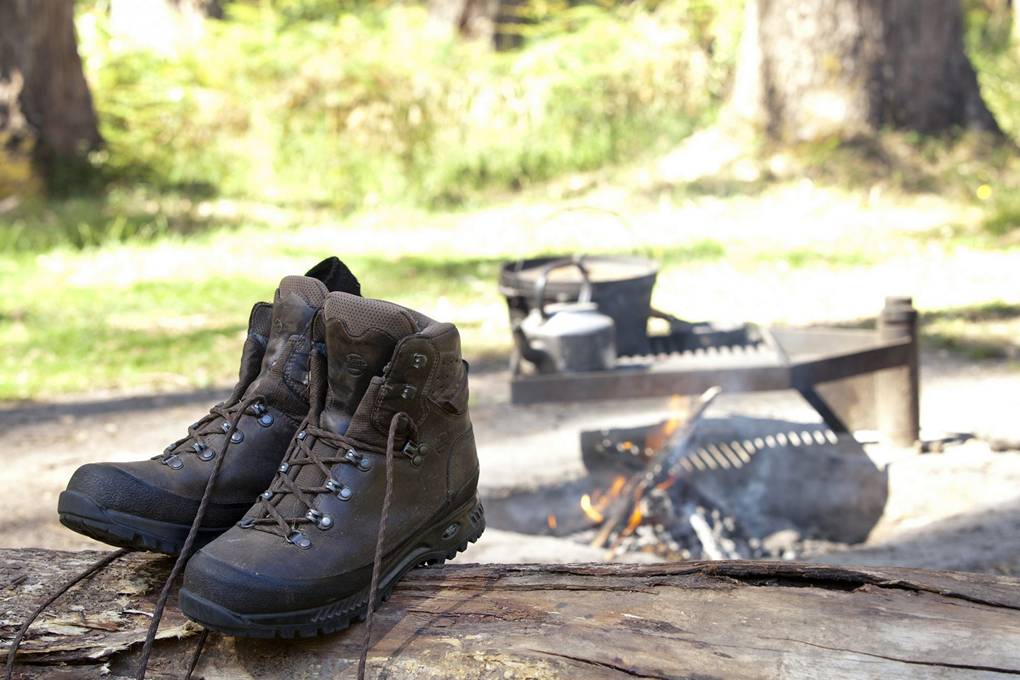
There are picnic and camping facilities throughout the Mt Cole State Forest catering for both large and small groups. There are six different sites – Ditchfields, Chinamans, Mugwamp, Richards, Smith’s Bridge and Beeripmo. These sites provide an ideal base for all activities, e.g., walking, horse riding, etc. Most sites provide picnic facilities, toilets, shelters and fireplaces/pits. Availability for camping is on a first come basis. There is no charge for camping in the area
Walk through cool fern gullies and alpine plateaus then rest to take in the views across the spreading plains to Langi Ghiran and the Grampians. Whatever your choice, the Park’s timeless charm and unspoiled natural beauty will remain with you forever.
Recommended walks:
Beeripmo Walk
Mount Cole and Mount Buangor
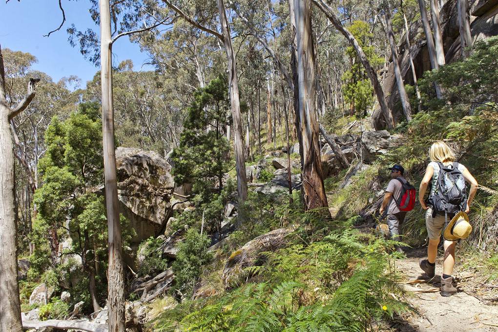
Distance 21 km 11 hours 2 day return (moderate) Starting at Richards campground, the most recent walk at Mt Cole is a journey of discovery for the novice and experienced hiker. Walkers can experience a variety of different forest environments from lush forests with ferns, falls with a gentle sound of running water, the brilliant green of the moss covered rocks, weather beaten rocky outcrops and magnificent vistas of the tablelands below and surrounding mountain ranges.
Middle Creek to Ferntree Falls Return
Mount Buangor
Distance 7.2 km 3 hours (easy)
Starting at the Middle Creek Campground Shelter, head along the track marked Waterfalls Nature walk). There are some steep sections but steps and handrails are provided to take you on a circuit walk of the falls..
Jenny Clayton Walk
Mount Buangor
Distance 8.5km 3 hours (easy)
Starting at Middle Creek campground, a pleasant walk around the Jenny Clayton Education Reserve, on the edge of the forest with a good variety of vegetation, animal and birdlife.
Mt Buangor Walk
Mount Buangor
Distance 10km 5 hours (moderate)
Starting at Ferntree Visitor Area, a steep uphill climb past waterfalls , through eucalyptus forest to the sub alpine vegetation at the top of Mt Buangor. There is a good chance of seeing eagles, fern filled gullies and extensive views of the western plains past Langi Ghiran. The endemic Mt Cole Grevillea may be flowering depending on the time of year of your visit
Richards, Raglan Falls Hutchings Track Loop
Mount Cole
Distance 8.25km 3 hours (moderate)
Starting at Richards Campground, a steep walk uphill via the Raglan Falls with steep mainly downhill return. This walk provides great views over the Raglan area. Paradise Walk
Mount Cole
9km, 304 hours (moderate)
Starting at Richards Campground, walk on foot tracks through ferny glades, across the Fiery Creek and over board walks in the Mt. Cole State Forest. Some steep sections but great views. Walking poles are recommended.
Middle Creek Cave Hill Track
Mount Buangor
6.5 km 4 hours (moderate)
Starting at Middle Creek Campground, this is an interesting walk through a variety of vegetation from fern gullys to native bushland. You will find yourself at the Cave overhang where you will need to scramble over the rocks until you reach a large rock face which has a chain to help you cross.