Fiery Loop
Due to fire impact this walk is closed for public safety until further notice. For the latest on Mount Count Cole State Forest closures, head to www.deeca.vic.gov.au
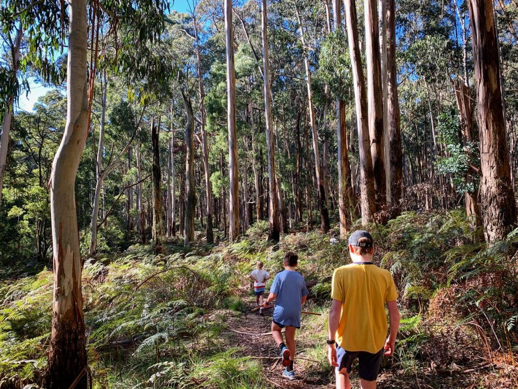
Located in Mount Cole State Forest
Distance Under 1 hour, 3.2km
Grade: Moderate
Starting from the Raglan -Elmhurst Road, this walk runs alongside the Cave Hill Creek Education Centre for the first 0.5km before joining the loop of the walk passing through mixed species eucalypt forest carpeted with bracken, skirting Cave Hill Creek and Fiery Creek. The area is alive with birdsong and you may also see the occasional black tailed wallaby.
Directions: From Beaufort, drive north towards Raglan on the Main Lead Road which turns into the Raglan-Elmhurst Road. After 19.7km (just 0.2km past the Cave Hill Creek Turnoff) pull off the main road to the start of the Management Vehicle Only Track where the walk commences. Ensure you park your car off the track to avoid blocking access for management vehicles.